

PHASAO innovation centre
Cartographic Innovation Centre
Turning geospatial data into maps that support planning and public decision-making.
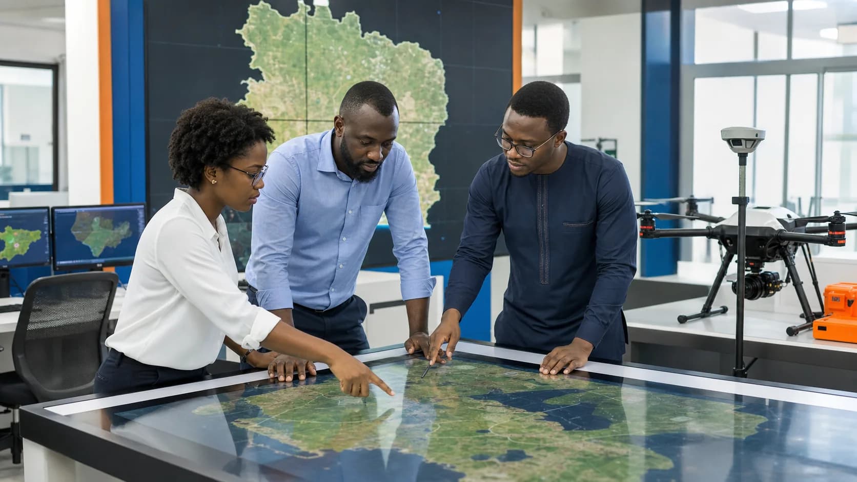
Purpose
Our mission
Produce, manage and disseminate authoritative geographic information to add a territorial dimension to statistics. The centre combines digital mapping, aerial observation and spatial analysis to improve survey preparation and knowledge of the territory.
Available equipment
- GIS workstations and cartographic visualisation table
- Professional drones and aerial imaging sensors
- GNSS receivers and field surveying equipment
- Satellite imagery, geodatabases and specialised software
Services provided
- Production of census, thematic and administrative maps
- Aerial imaging and photogrammetric processing
- Spatial analysis and support for field operations
- Data dissemination through the Geoportal and digital map library
Tangible effects
Results achieved
The centre has strengthened ANStat’s mapping autonomy and the geographic accuracy of statistical operations.
Creation and updating of a national geodatabase
National approval to conduct aerial mapping
Pilot mapping of 9,000 hectares and 18,774 buildings in Songon
Better preparation and coverage of data collection operations
Next step
Development outlook
The centre aims to extend geospatial coverage, improve interoperability with government bodies, automate change detection and continuously enrich the national Geoportal.
Ecosystem